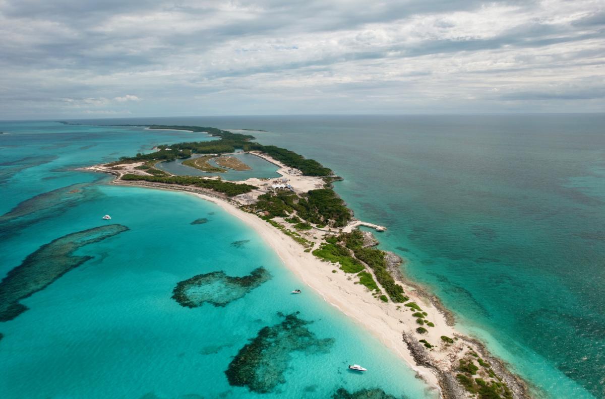
Drone image of restoration dunes on Rose Island, The Bahamas. Courtesy Image
Beaches across The Bahamas have long been defined by stretches of white and pink sand bordering clear turquoise waters. Today, those same shorelines are experiencing measurable change. Rising sea levels and increasingly intense storms are accelerating coastal erosion, reshaping beaches that are central to both community life and the national economy.
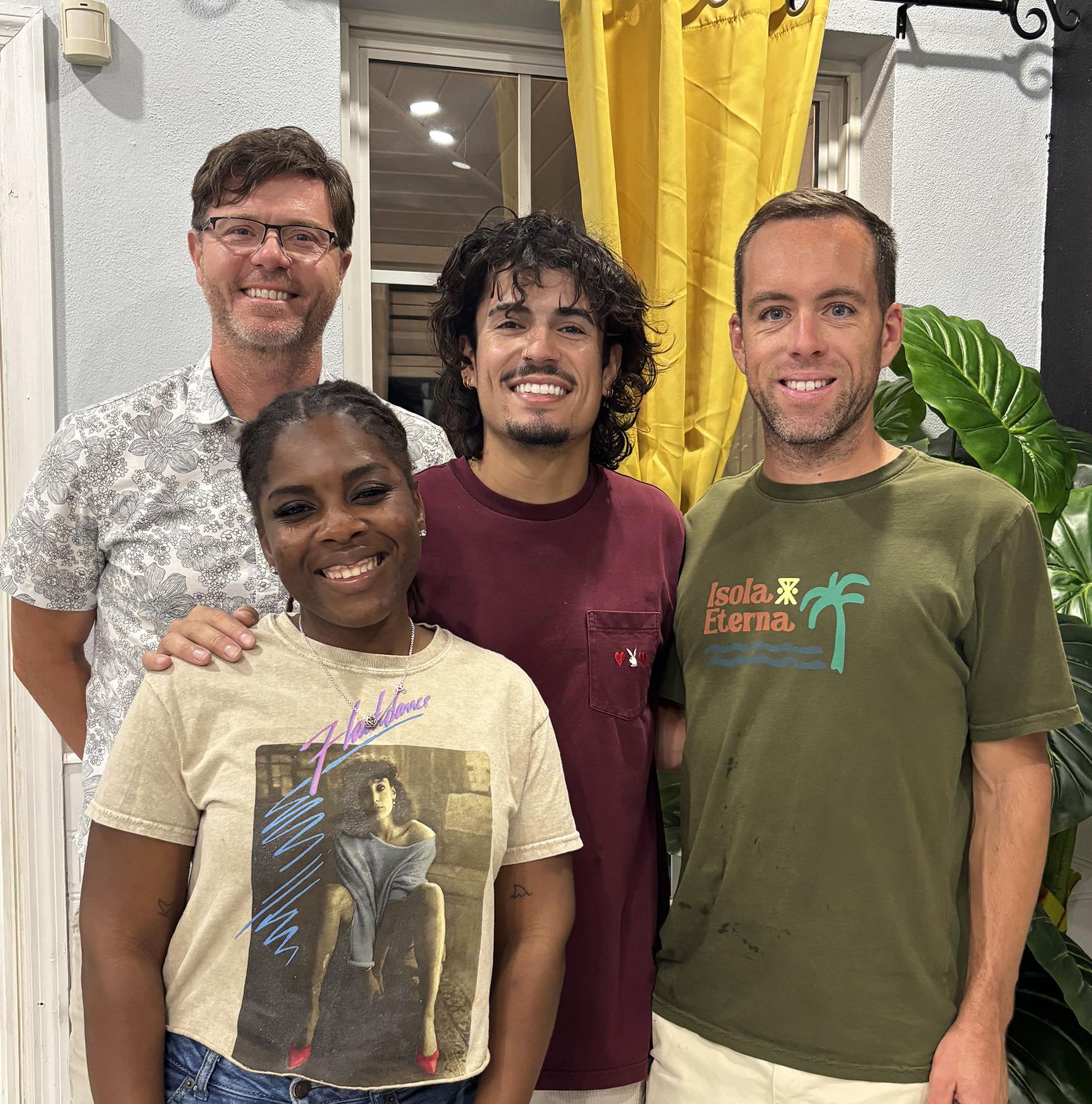
Left to right: Dr. Ian Walker (PI), Divina Cox (PhD Student ), Erick Morales Oyola (Undergraduate Student), Dr. Kyle Emery (Research Scientist)
To better understand how these coastlines are evolving, researchers from the UC Santa Barbara Marine Science Institute have launched CoastSnap Bahamas, a citizen science initiative supporting the doctoral research of Divina Cox at the University of California, Santa Barbara. Working under Marine Science Institute principal investigator Professor Ian Walker, Cox studies coastal geomorphology, focusing on how beaches erode, how sand moves through littoral systems, and how long it takes for shorelines to recover after major storm events.
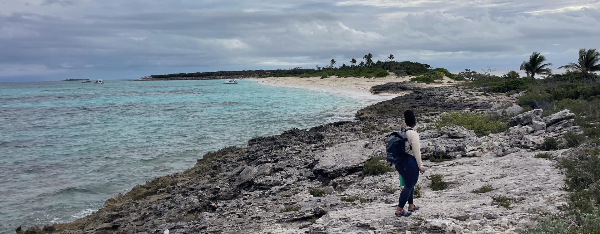
Northern side of Rose Island, Divina walking long the rocky shore to the CoastSnap site. Courtesy Image
As a small island developing nation, The Bahamas faces disproportionate impacts from climate change despite contributing minimally to global greenhouse gas emissions. Sea-level rise driven by ocean warming and melting land ice, combined with stronger storms, increases the risk of land loss and infrastructure damage. Tourism—closely tied to healthy sandy beaches—accounts for a substantial share of the country’s GDP and employment. Understanding shoreline stability is therefore both an environmental and economic priority.
Long-term, continuous coastal monitoring, however, can be difficult to sustain across multiple sites. Originally developed in Australia, CoastSnap offers a scalable solution. The program uses fixed smartphone cradles installed at designated viewpoints. When users place their phones in the mount and take a photo, the image captures the same stretch of beach each time. Uploaded to a public database, these time-stamped photos create a long-term visual record of shoreline position and beach width.
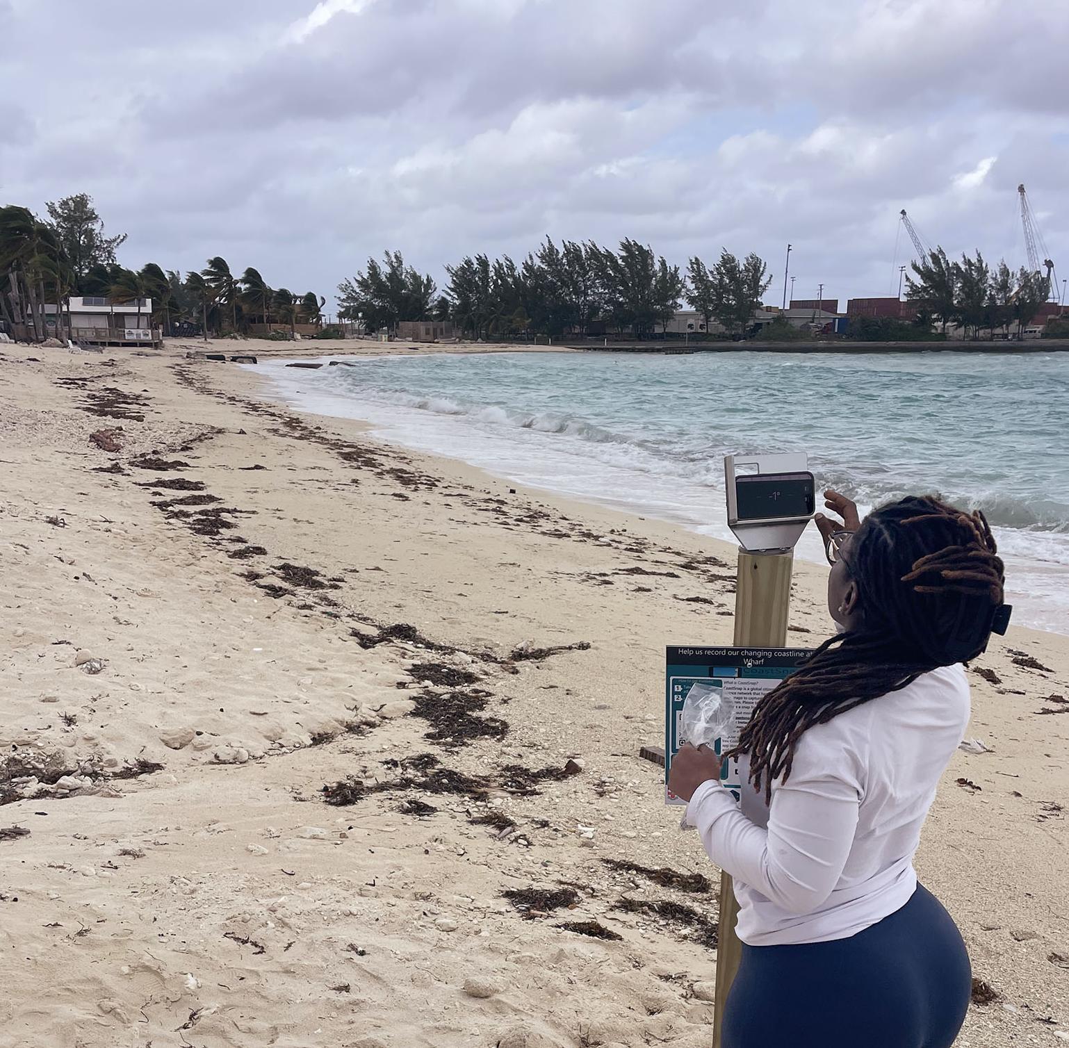
Divina at a CoastSnap site at Long Wharf, New Providence
In December, the team—including Cox, research scientist Kyle Emery and undergraduate researcher Erick Morales Oyola—traveled to The Bahamas to install four CoastSnap stations across New Providence and nearby areas. Sites include Long Wharf Beach, Sandyport Beach and Rose Island, representing urban, recreational and more natural coastal settings. Each location was selected to capture how waves, sediment transport, storms and human activity interact to shape the shoreline.
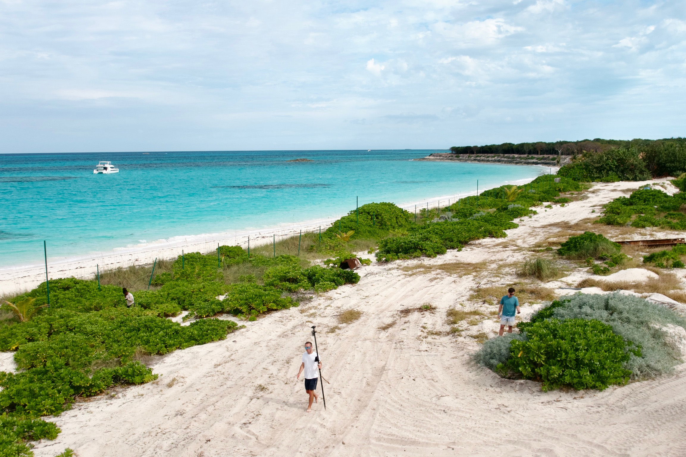
Rose Is., Aerial view of restoration site
By inviting residents, students and visitors to participate, CoastSnap Bahamas transforms everyday beach visits into meaningful scientific contributions. The growing archive of repeat photographs will be paired with drone imagery and follow-up field surveys to build a robust dataset on shoreline variability. Over time, these data will help researchers assess coastal vulnerability, identify patterns of erosion and recovery, and inform adaptation strategies for communities on the front lines of climate change.
Rigorous research powered by community participation—investing together in the future of The Bahamas’ coasts.
Adapted from reporting by Sonia Fernandez, “Citizen science app tracks coastal erosion in the Bahamas,” The Current, UC Santa Barbara, 2026.